The challenge
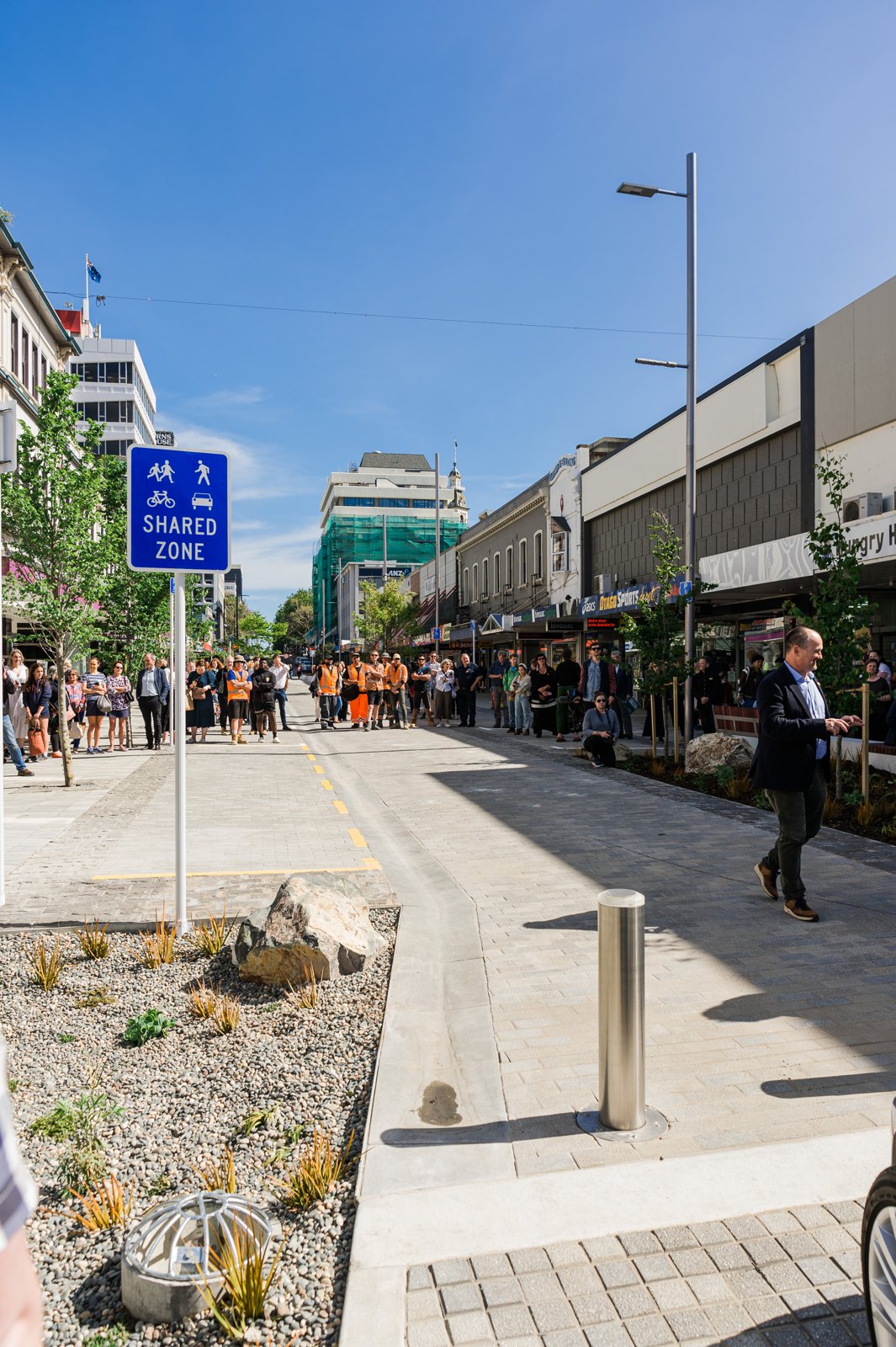
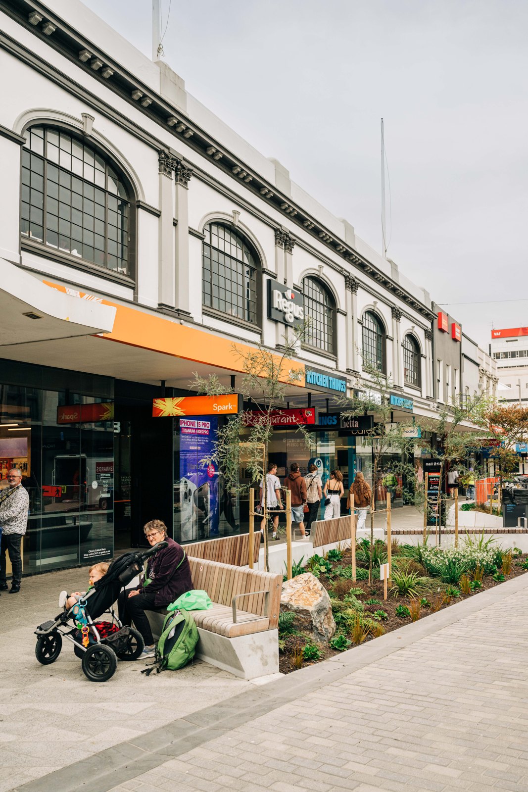
The three-year, NZ$100m George Street upgrade involved three-waters remediation, transport and amenity works along George Street and enabling work on Great King, Frederick, St Andrews and Hanover Streets. Fearing loss of trade, businesses and landlords had become vocal. Glen Hazelton, Project Director for the Central City Plan, needed a way to measure pedestrian visitation throughout the day and night, the same way every time, so the council had a comparable record to respond with.
The approach
Countculture established a sensor network across the selected streets. Video streams are processed on the edge and deleted, with only counts, directions and speeds sent over 4G to Pulse Analytics. Stakeholders could see the data at any time, and the council could compare any period against the record with confidence.
The result
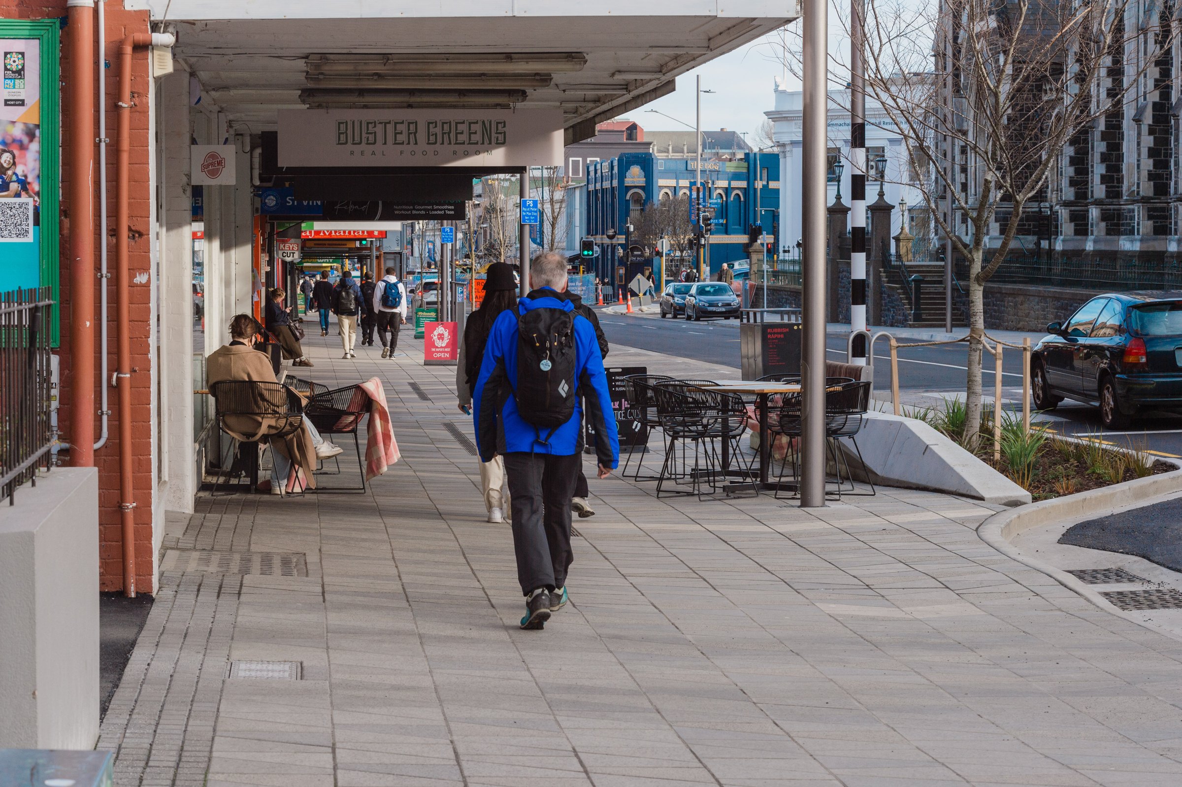
The council worked with local businesses and investors on evidence rather than anecdote. Businesses weighing two tenancies asked for pedestrian data; landlords used it in business cases for redevelopment. Safety planning gained a new input, from where to place security patrols during construction to how to make night-time areas safer long term. Other councils have asked Dunedin to share what it learned about the impact of urban transformation works.
“We needed some way of accurately measuring pedestrian visitations throughout the day and night, making sure that we're doing that in the same way all of the time, so we establish a comparable set of data.”
Glen Hazelton, Project Director, Central City Plan, Dunedin City Council