The challenge
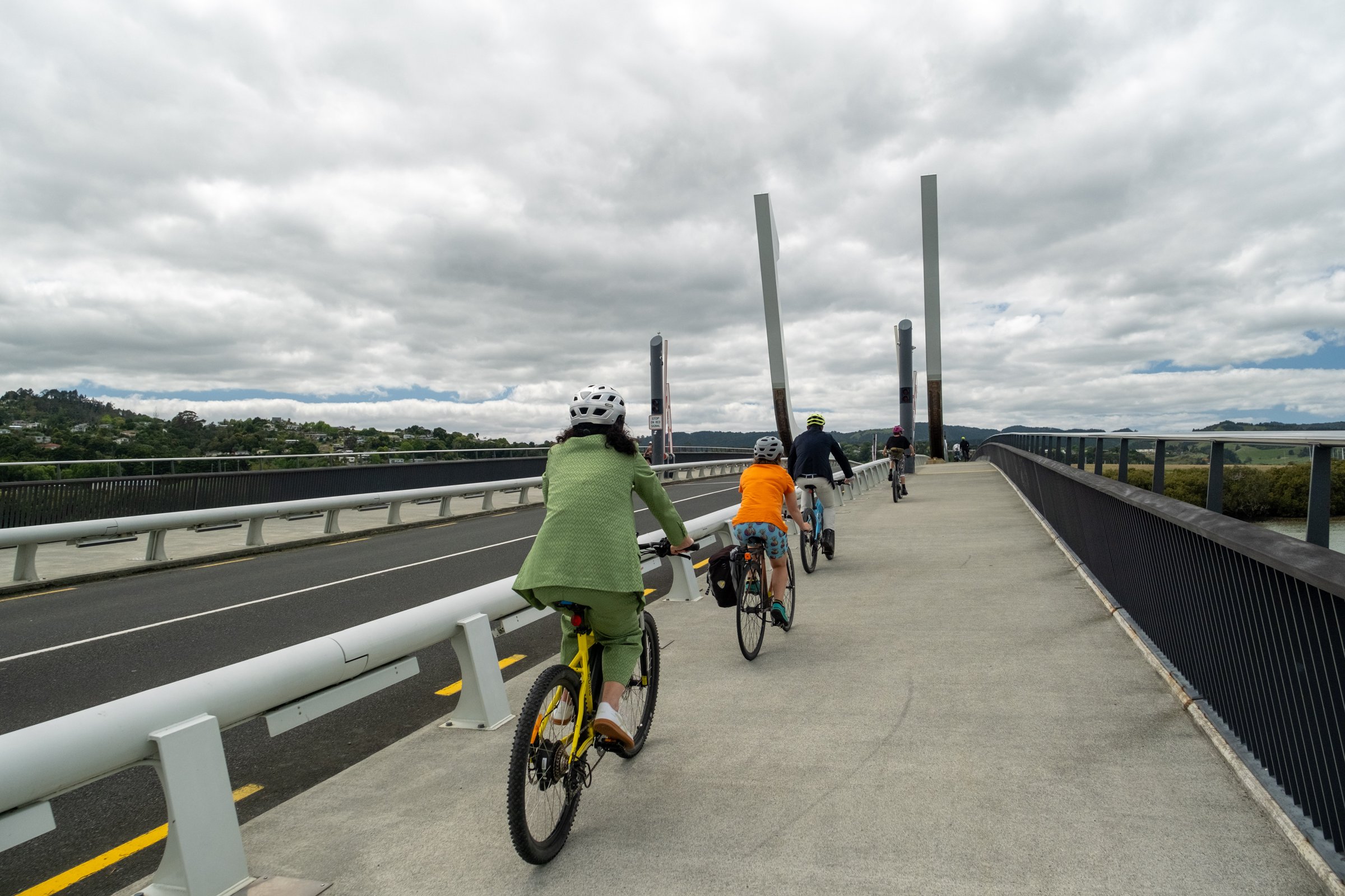
Whangārei is ten years into a 30-year active transport strategy, with major shared paths reaching Te Kamo, Raumanga and Onerahi. The council needed to know how many people, and which modes, were using the network, how use was changing, and where the next connections would have the most impact: questions a periodic manual count could not answer, and that residents who rarely see cyclists were asking.
The approach
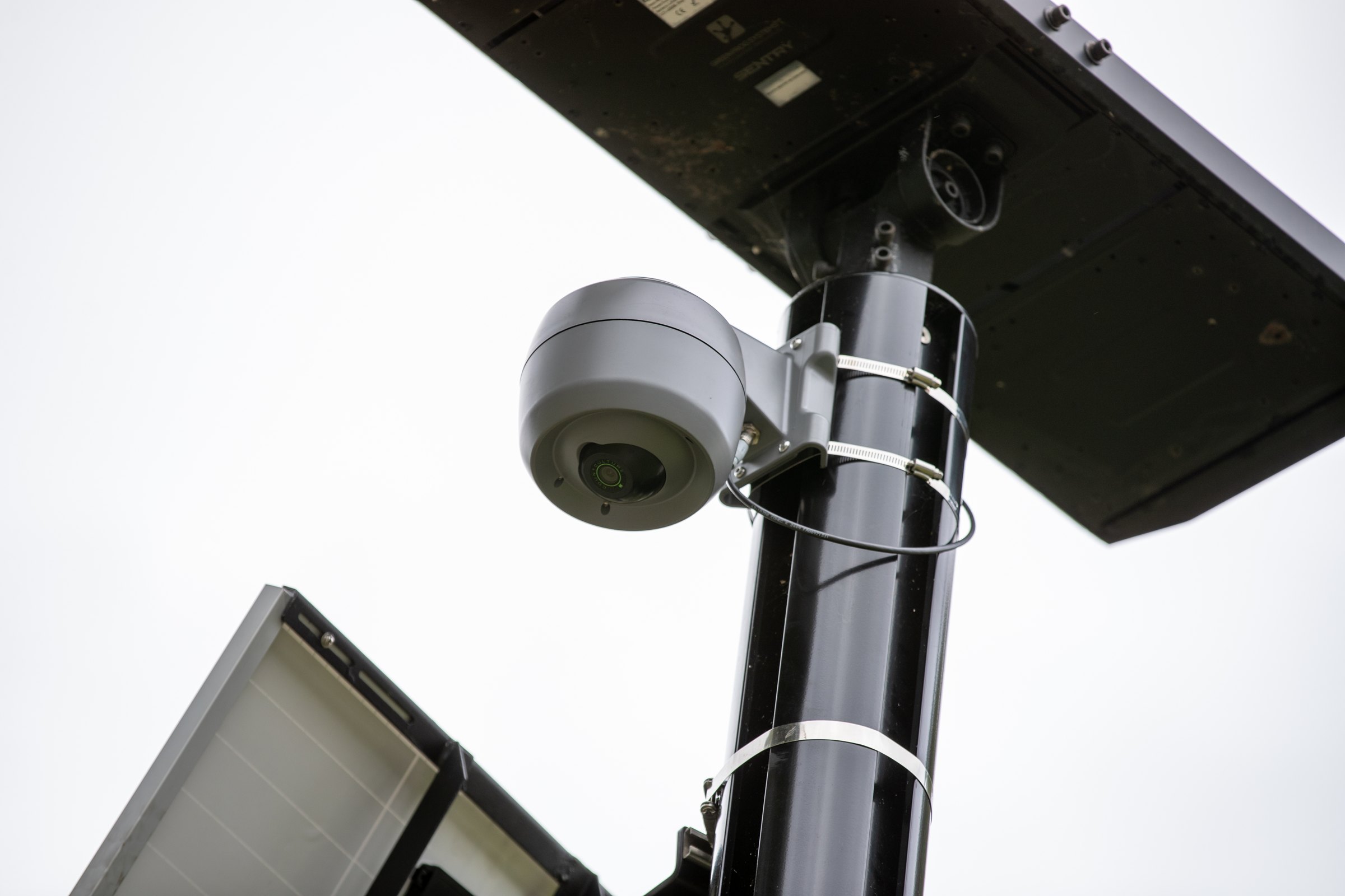
Countculture installed sensors across the shared path and cycle lane network, beginning with the baseline sites established between October and December 2022 and expanding as the paths grew. Video is processed on each sensor and deleted; only classified counts reach Pulse Analytics. A Pulse Analytics dashboard presents the data from 15-minute intervals up to monthly views, with weather integrated so the effect of rain on micromobility use is visible alongside the counts.
The result
Cycling movements are running 25 to 30% above the same month a year earlier, and e-scooters have become a prominent part of the city's transport picture. The council answers public questions about shared path use with real-time data, and uses the same numbers to justify the next phase of connections, including the Kamo shared path extension linking the city centre to Te Kamo.
“Monitoring these trends in real time has proven to be a game-changer.”
Caley McGillvary, Project Manager Road Safety Promotion, Whangārei District Council